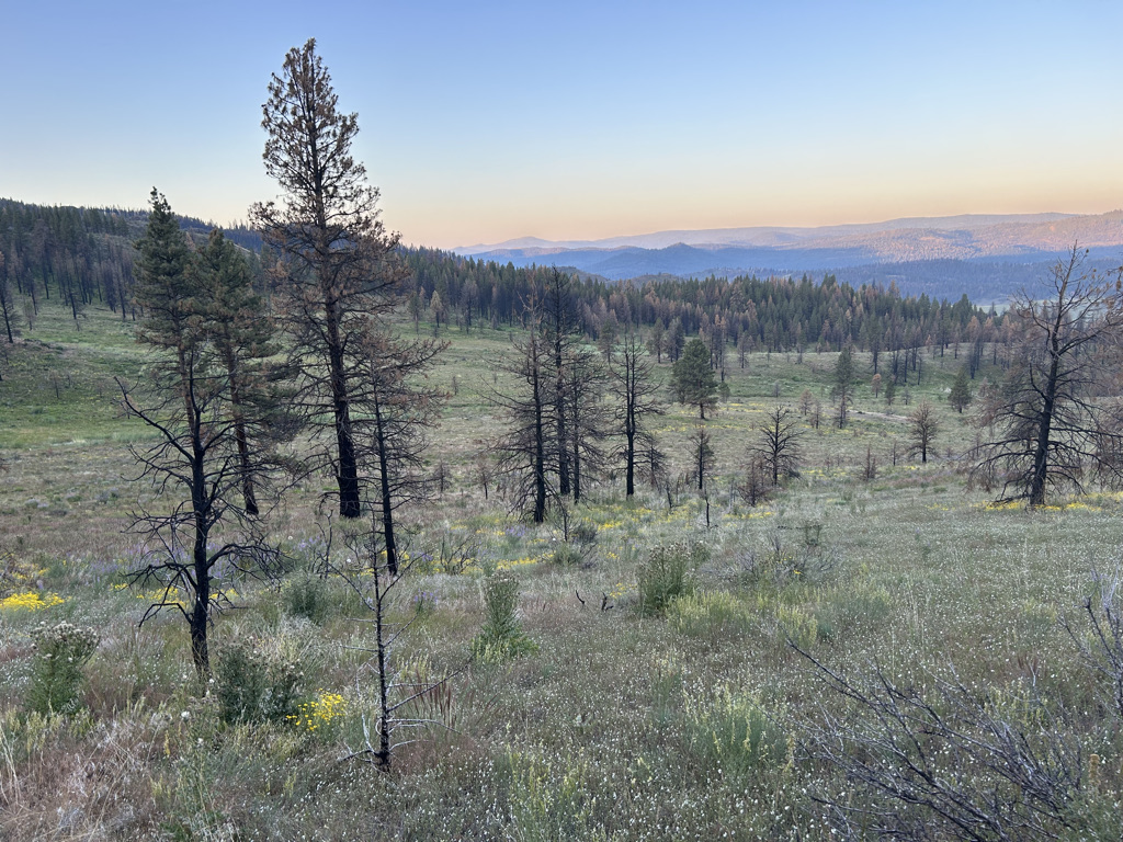
Day 1: Idyllwild to the San Pasqual Valley
I headed out on Friday morning full of optimism and excitement. The grand depart had actually been postponed two weeks due to excessive rain and even snow in the higher elevations. The overriding concern was marking up the trails around San Diego, and the secondary concern was hypothermia. But this weekend the weather and trail conditions were perfect. I was looking forward to the joy of living simply off of the bike. One of my goals for the ride was camping every night in a bivy bag rather than staying in hotels. There would be no plugs out in the wild, but I had a chargerbank, and the plan was to stay in campgrounds 2 of the nights if needed, charging the charger bank overnight in a bathroom.
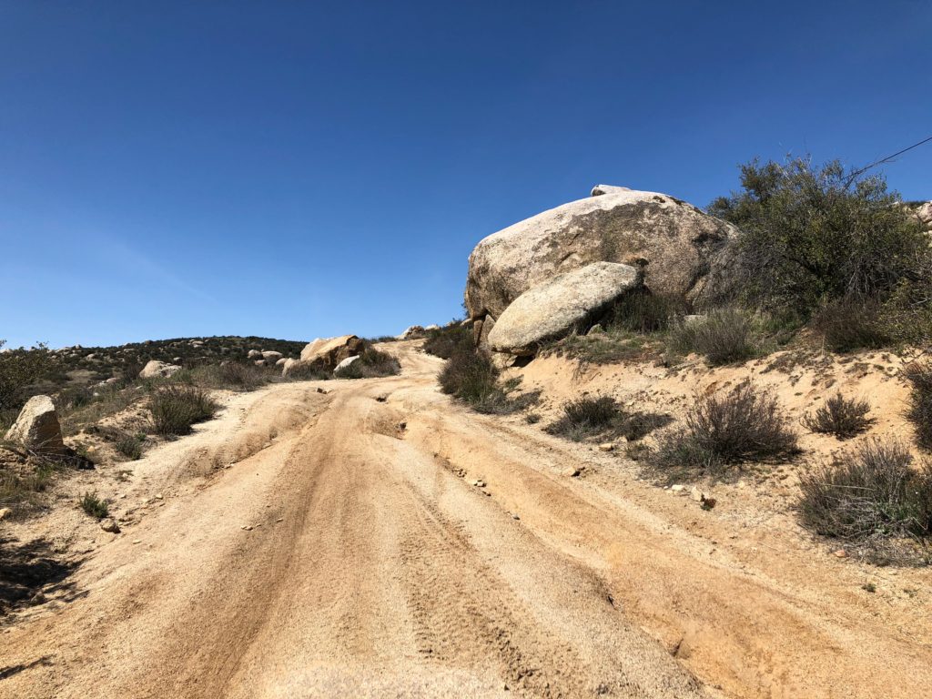
The first day’s ride was uneventful, other than losing my blinky light off of my seatpost bag on a rocky fire road descent and discovering that the .gpx file I had loaded onto my Garmin somehow dropped the route. Luckily I had a backup route loaded up on the Gaia GPS App on my iPhone, but it doesn’t beep when you go off route and keeping the iPhone screen on constantly was costing me a lot of battery power.
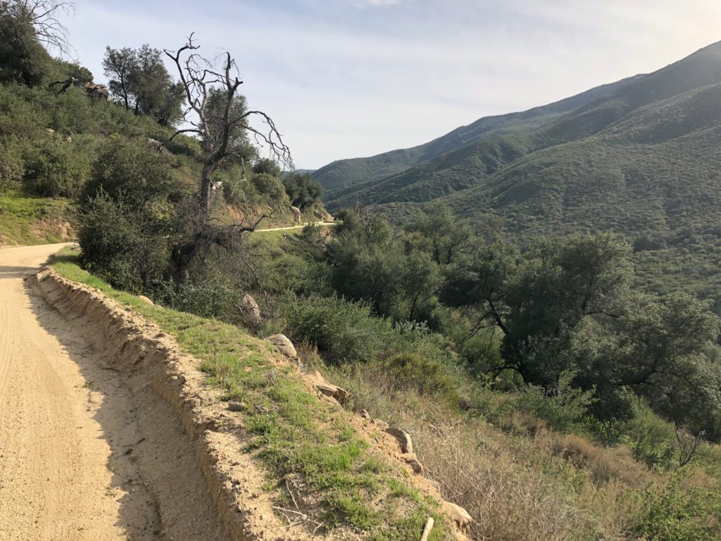
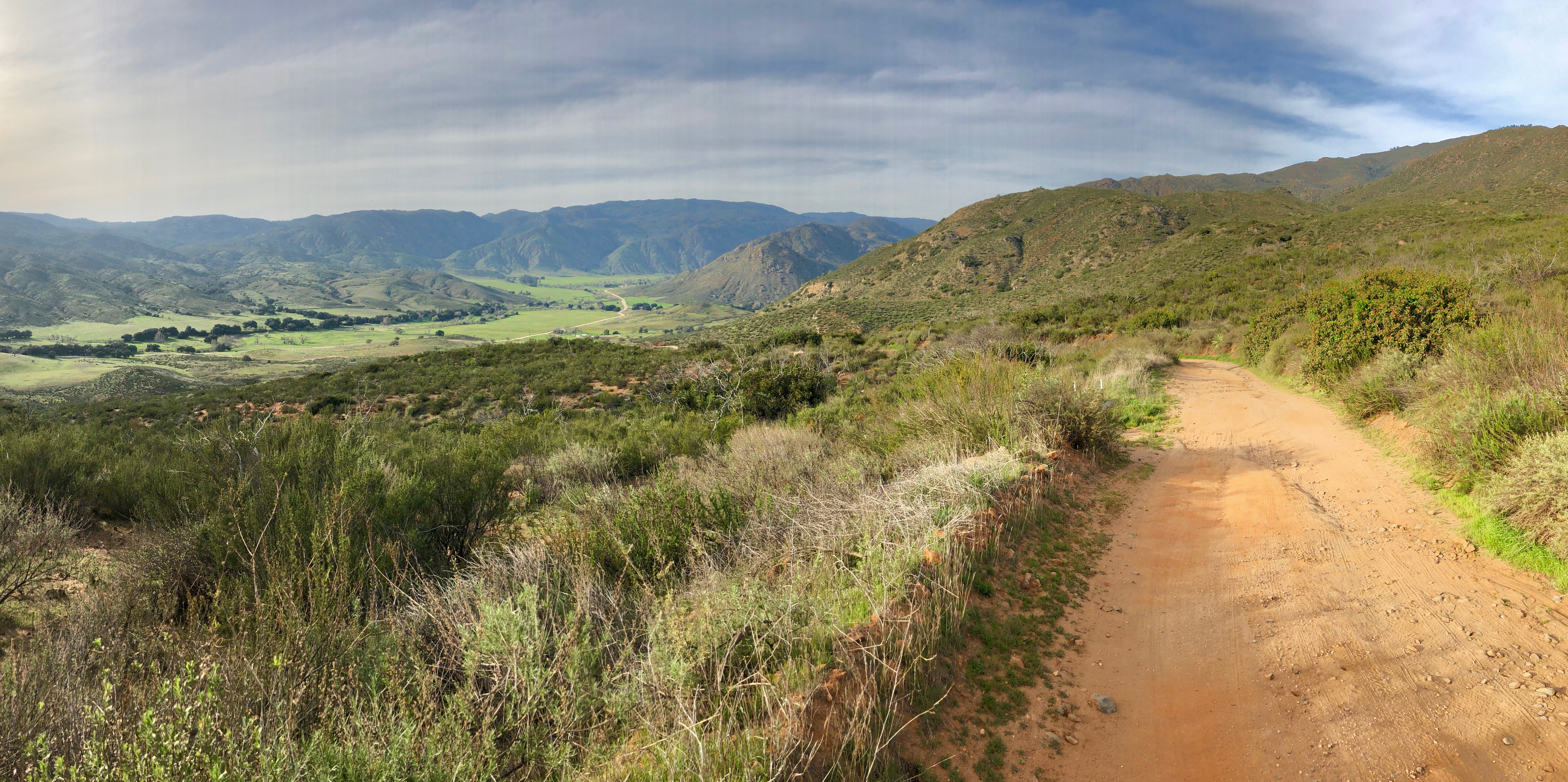
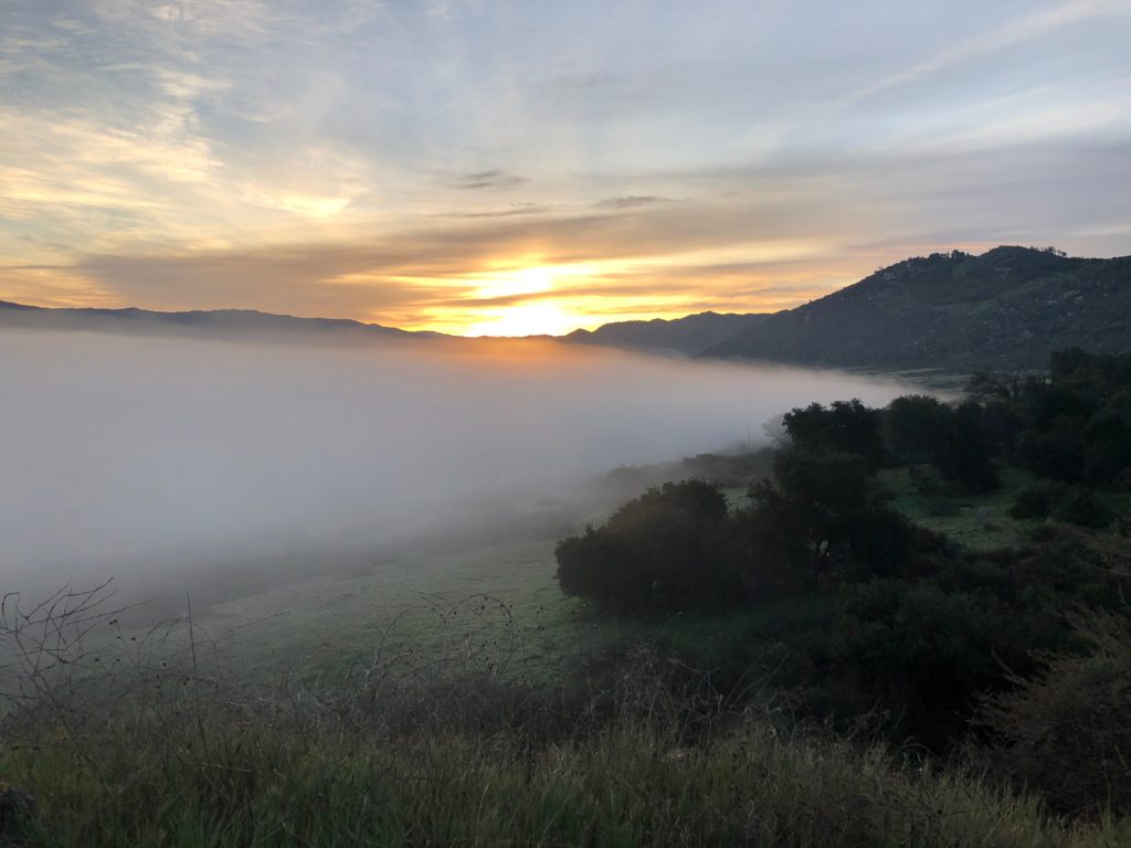
I found a nice grassy spot high up above the San Pasqual valley at about 95 miles and 6:22 pm – the last possible place to camp before reaching the populated urban/suburban areas. I rehydrated a dehydrated camp meal, ate, listened to a podcast and settled in for a nice sleep at around 8:30pm.
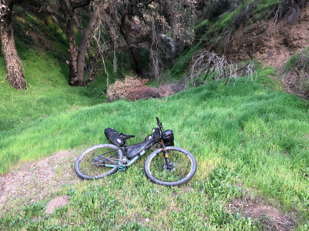
Day 2: Journey in and out of San Diego
This day I had an ambitious 135 miles planned. I awoke at 4 am, made coffee, ate a bar and got rolling around 5:30 am before sunrise down a narrow highway with no bike lane or shoulder. I had no red blinky light, but luckily at this hour there were next to no cars and I arrived safely at a singletrack trail running through beautiful orange orchards at sunrise. The smell of orange blossoms was amazing.
Soon I was in Del Mar, land of posh horse stables, where I stopped at Whole Foods at 11 am for a resupply and brunch. I opted to leave the bike lock at home, but none of these Tesla-driving yuppies looked like they needed to steal my bike.
Finally, I arrived at the ocean! It was so packed with tourists and stupid drivers that I pressed on. I rode up a hill with what seemed like a road bike grand fondo, and people were curious about how far I was going. Having bike bags on your rig definitely invokes a lot of curiosity!
I was delayed a little again as I got really confused going through UCSD campus, went 4 miles off course in Ocean Beach, and also got stuck in loads of tourist traffic along the harbor. There was a riverside trail leading along the Sweetwater river which reminded me a lot of the San Lorenzo bike path at home in Santa Cruz, home to the homeless. I ended up popping out at a Starbucks for a water refill, some healthy snacks and a double shot of espresso. This should be a banned substance, I feel, as it really lifted me up! Finally I arrived at a really cool singletrack trail system around the Sweetwater reservoir. A further delay was that the entry point to this trail system was a little confusing, with a new chain link fence in the way right where the route was supposed to go. Luckily the reroute was pretty self-explanatory (can’t ride through a fence, so take the next trail that goes in the general direction of the route…).
I knew that the last 40 miles of the day was to be an unrelenting chain of climbs going from basically sea level to 3700′. I was aiming to stay at an RV park called Oakzanita and charge my charging bank overnight. At around 6PM, I called Oakzanita to ask about arriving by 10 or 10:30pm, but they could not let me check in past 10:30 due to noise concerns, so the clock was ticking.
Just a few miles out from Oakzanita, it was 10:38 pm and I decided to call again and beg. There was no answer. The campground was out. At 135 miles for the day, I camped off of the trail literally a mile out from my intended spot, and would have to deal with charging in the morning. I would learn later that at this point, I was in fourth place overall.
Day 3: Desert Quagmire
I awoke at 5 am the next morning, made a quick coffee, rode to the campground, found the bathroom block and began to charge things for a little bit. The bathrooms were heated and it was nice hanging there, but at 7am I decided it was time to go with an unsatisfactory level of charge. My Garmin Edge was low, the Garmin Inreach Explorer tracker was low, and the iPhone, now my main source of navigation, was low and both of my bike lights were low. I was able to get less than one quarter of a charge on my charger bank. In hindsight, each of these devices charges pretty fast when plugged in individually, while the charger bank charges very slowly.
I was off to the Cuyamaca area trails. It was here that I passed Paul, another rider who was from the area. He caught up to me at one point and we leap-frogged a bit. There was a bit of hike a bike on Indian Creek where I was stabbed by a yucca plant while getting off my bike, and watched 3 little dots of blood appear on the side of my shorts and two more pin pricks on my arm. I had to laugh – it looked grisly but thankfully was a minor wound. We got on a little tiny bit of the Noble Canyon trail, well-known for being a fun downhill trail, however we ride up a small section of it. Somehow I got turned around and ended up riding backwards along Noble Canyon, the fun way! When I reached Paul who was behind me, I knew I messed up. He waited for me to turn around and I got going again.
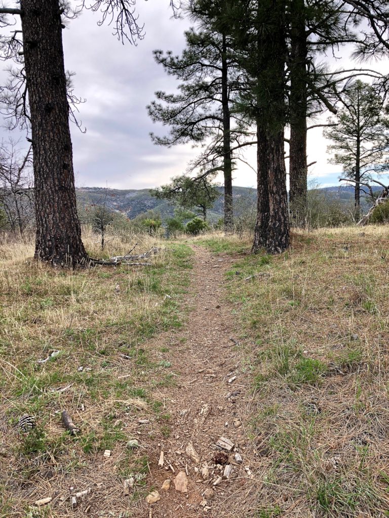
Sunrise highway was really pretty, and I was glad to have a section of fast-moving downhill pavement. I turned onto a singletrack through a big beautiful meadow.
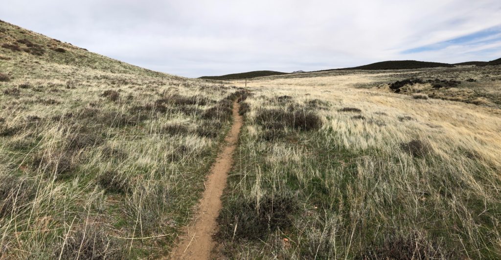
Then it was bouncing down a rocky, risky, yet fun descent down Oriflamme canyon into the desert.
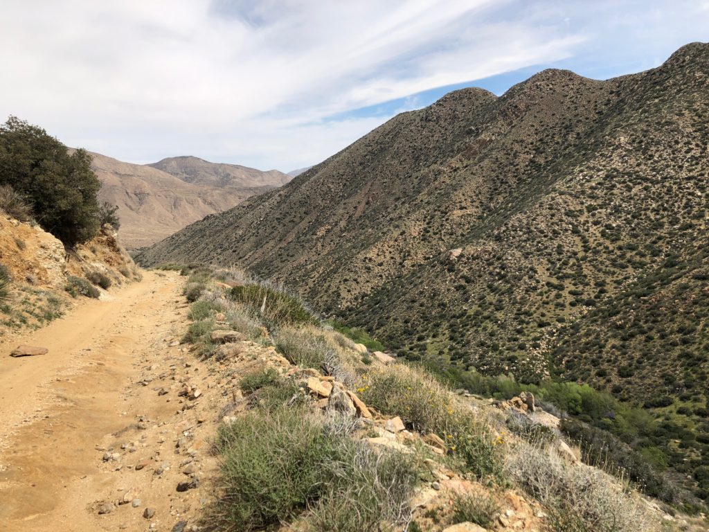
There was a store at the bottom of the desert valley called Butterfields, where I charged the charging bank for about an hour, filled up 6 liters of water, and bought and ate junk food. Paul passed me here. Not satisfied with my charging bank’s charge, it was on to the Agua Caliente store, run by Mark who was a long-time Stagecoach supporter. Mark let me borrow another usb charger plug so I could charge 2 devices at once. Two hours of charging went by, and I was definitely getting antsy and anxious about my situation, but at least my iPhone navigation and GPS tracker should be good for a long time. Off I went, into the sands of doom. In total this day, I had 4 hours of charging delays!
The Anza Borrego desert was like a bad trip. Mark warned that the roads were very soft right now. I was hoping to find some side crust that he wouldn’t have noticed in his 4WD, but alas there wasn’t much of that. The desolate desert landscape here is all sand and rock. The riding was slow and difficult and I was drifting into a deep mental funk. I found some blooming ocotillos, but they could not cheer me up.
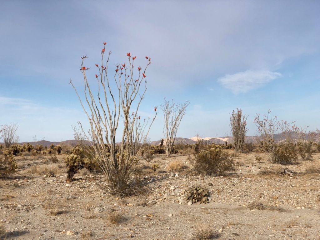
Totally absorbed in thought, and staring down at the sand to follow the most solid line, I missed a turn! But this was no biggie, and I quickly got back on track. I descended down an aptly named sandy chute called “Devil’s drop”to a wash inside of a canyon called Fish Creek.
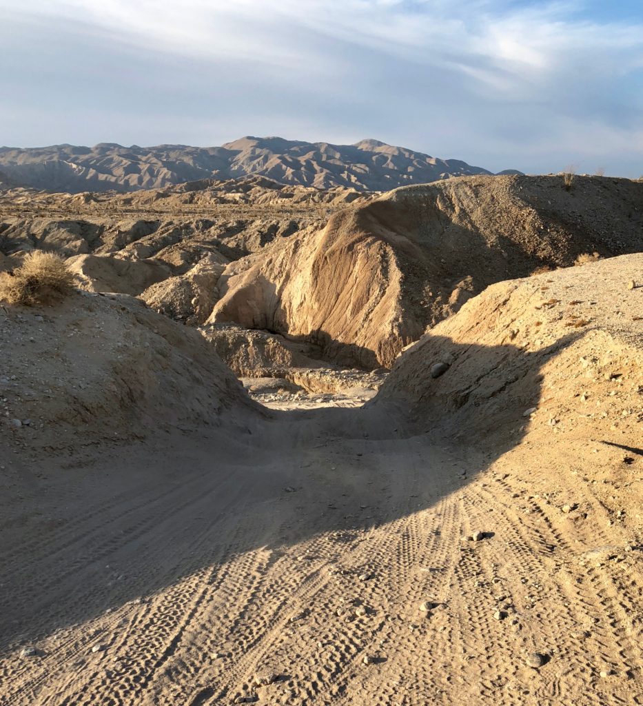
I thought navigation would be easy here, as I had two rock walls on either side to guide me. However, I went left instead of right. I can’t remember what I was thinking. Maybe I thought I was going straight. It was a lot like that scene in Apocalypse Now, where the character played by Charlie Sheen comes upon a group of soldiers in the night exploding grenades everywhere against no apparent enemy. He asks “where’s your commanding officer?” but got blank stares back because there wasn’t one.
I pushed on up the west (wrong) side of Fish Creek which I’m now naming “Tweaker Alley”, because it aptly described the people hanging out there. After over an hour of alternately riding and pushing my bike, my mood started sinking even further down a dark hole. I felt ridiculous. Why was I indulging in such a bad mood? Yes the terrain was difficult, but that was what I had signed up for, and it was nothing new to me. I decided to stop for a bit. Maybe I was just hangry? I ate some junk food. Soon after, I finally looked at my blue dot on the Gaia GPS app, and my situation became terrifyingly clear: I had gone 5 miles the wrong direction, the sun had just gone down, the full moon was not up yet, my one remaining light’s battery was less than 1/3rd full, and I was still facing at least 14 more miles of navigating through this sandy wash in the dark. Panic arose, but at least it awoke me from my reverie of angst and I was finally able to muster some focus out of sheer necessity. I put the light on its lowest setting, more of a dim pulse, to conserve what little battery was left and backtracked the 5 miles to rejoin the route. Shortly after, I ended up going up yet another side wash the wrong way! After that, I stopped every 5 minutes to check my position on the Gaia app.
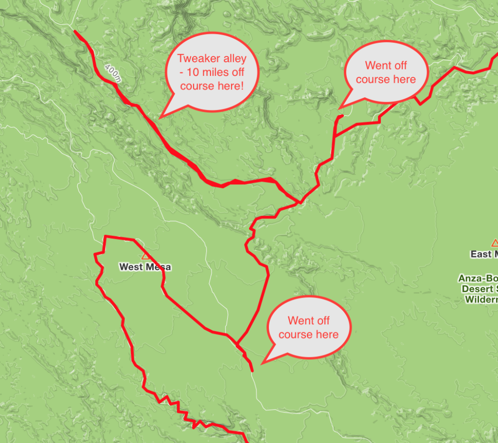
I really could have just stopped and camped anywhere, but I also needed to charge things while I slept or I would not have any navigation, tracking, or lights tomorrow. I also desperately wanted out of this sandy wash. My fears were heightened, and I felt like the desert was trying to kill me. I eventually passed the Fish Creek primitive campground, which I was going to investigate as a possible stop, but I heard gun shots and I figured I could pass on the hillbilly party. I was determined to make it to a campground in Borrego Springs, 32 miles away.
Reaching the pavement was a huge relief! However, as I finally reached the dune buggy outpost of Ocotillo Wells, I could see flags flapping furiously in the wind. I would soon be turning head first into a ridiculous steady and unrelenting headwind. Mustering all of my focus and willpower, I inched forward at around 5 mph, wind roaring in my ears and eyes tearing. “Am I moving forward? Yes. Am I going faster than walking? Yes. Very good.” I have no idea what the wind speed was there, but it felt like 50 mph. Finally I turned right on to Borrego Springs road, and now it was a side wind threatening to topple my bike over, with my frame bag acting as a sail, so again I had to go slow.
Arriving in town, I cued up google maps to guide me to the campground. By now it was 1am, and Google had routed me onto MORE hike a bike sand roads, which couldn’t be right! At this point I finally had a tearful meltdown, and texted Bruce. He saw me on the tracker, and said I had passed the campground. I had to backtrack, this time using Apple maps. Finally I reached the campground! I went straight to the bathroom block and plugged in my charger bank, found a spot, laid out the bivy bag, took two bites of the wrap that was supposed to be my dinner and went to bed. I had started my day at 5am, rode and hiked 110 miles, it was now 2 am, and I set the alarm for 6:30.
Day 4: Up and out of the desert
The next morning a mostly retired couple camping out of a van, who I would learn were named Sam and Karen aka “the World’s Nicest Couple”, offered me coffee. As Sam walked away with my titanium pot to fill it up, I became tearful. I was so touched by this moment of human kindness after the utter brutality of the desert. I should have been packing up and racing, but instead sat with them a while and had a nice chat. Karen told me all about how Sam had completely customized their van, that their favorite place to vacation and hike was up in the European alps. She asked me if I liked “downhill mountain biking” and I diplomatically said, sometimes, but not on multi-use trails. But we bonded over our shared love of the outdoors and van life, and they healed my desert PTSD. They gave me an apple and 2 clementines, juicy fruit was heaven in the dry desert air, and I gave them my two unused dehydrated camp meals for their next adventure, and I did not leave the campground until 8:30 am!
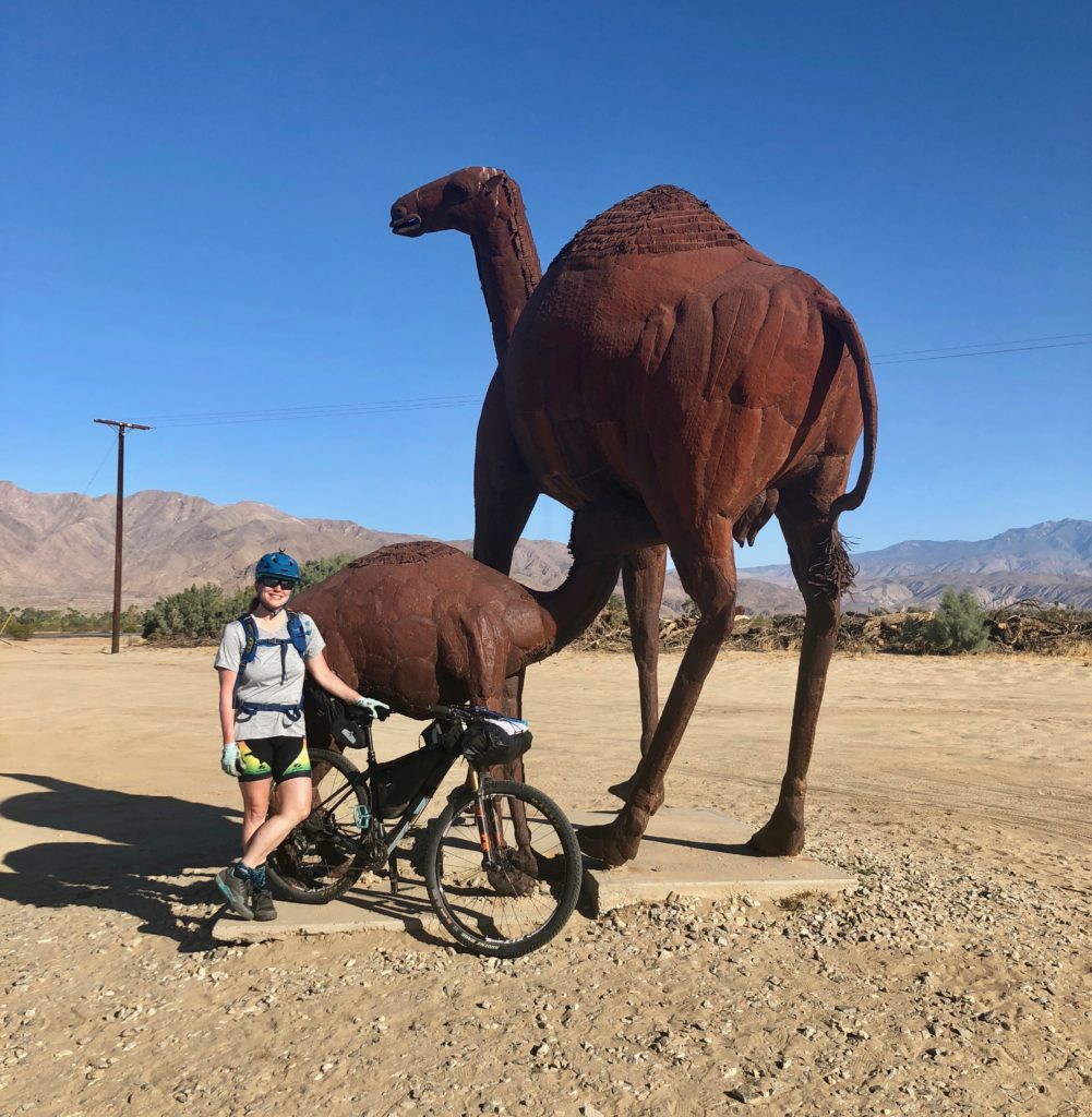
Heading out of Borrego Springs, I happened to run into my husband Bruce! He was taking photos of the metal sculptures just outside of town. I got a quick hug and kiss and a photo taken, then left promptly to head up Coyote Canyon.
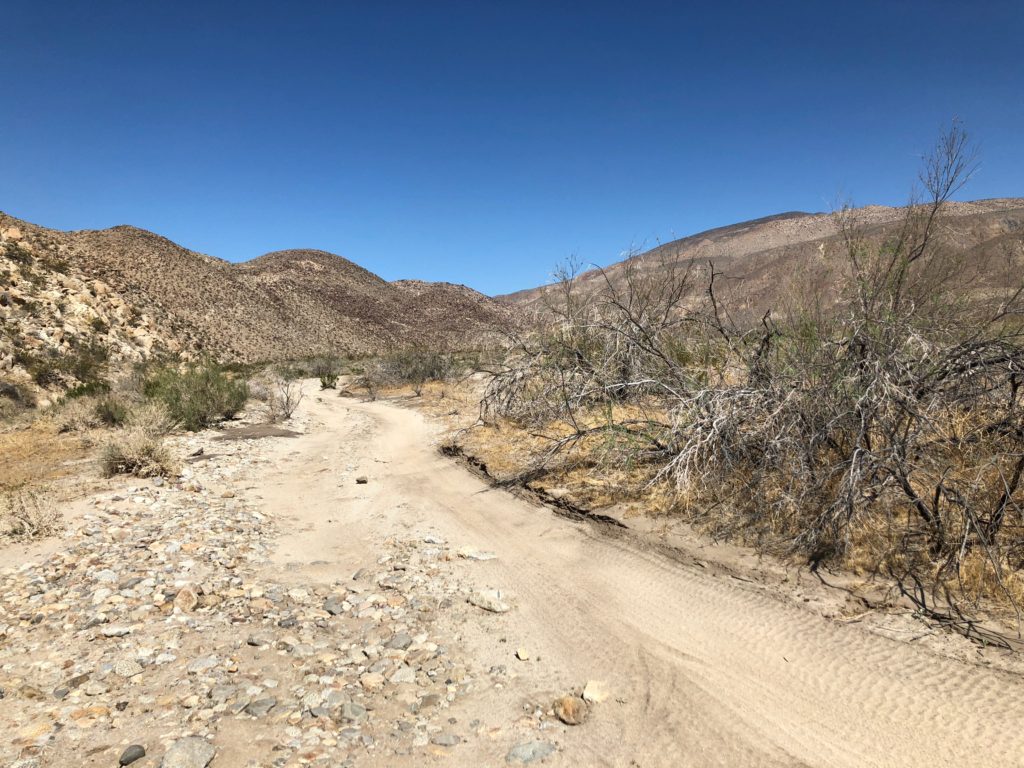
This section was incredibly slow going! There were more sandy wash roads, and then a hike-a-bike up a stream with thick reeds closing in on either side called “The Willows”.
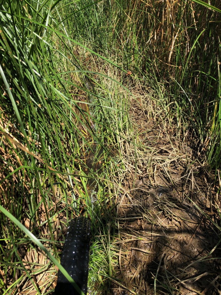
I pushed too far upstream, lifting my bike over downed trees not knowing that I had missed a dry go around. (argh). I backtracked and found that turn off finally. But so much more time was wasted.
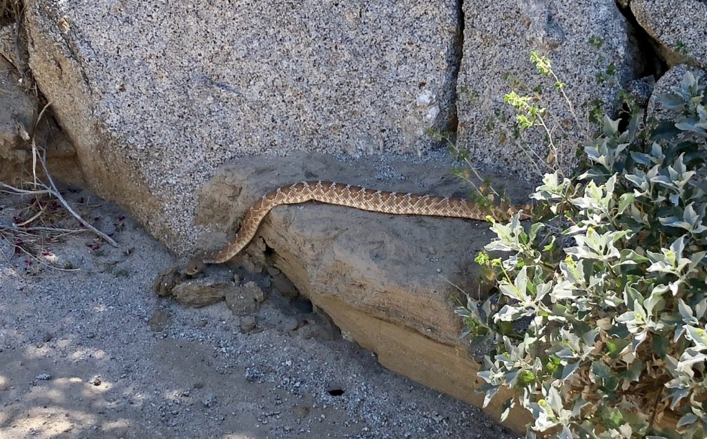
I finally got to the top, which was just another big rocky desert wash that was only a tiny bit more rideable than what I rode last night. Here was a gigantic rattlesnake, who was pretty chill, probably digesting a mountain biker.
Eventually I got to historic old Bailey’s Cabin, where an angel left a cache of water, which came in handy. Then I was faced with yet more endless barely-rideable sandy roads, capped off by a gigantic hot rocky climb. I finally arrived in the little town of Anza where I stopped at a little camp store in an RV park called Sunshine Market. Out of the real desert, and into the food desert. I got water, drank a coke and ate potato chips, and grabbed a couple of bags of skittles for sugar to fuel the rest of the ride. (ugh).
After leaving here I got confused looking at the app, had another meltdown, recovered from that and got back on track. Next was a road climb, where I risked putting on some music on the iPhone to cheer me up, and the a segment of the long forgotten California Riding and Hiking trail, which I am officially renaming the “California Hike-a-Bike Rut”. I saw a 6″ easy step-up with a steep drop off on the right and thought I should walk it, but then thought, nah I got it. In the next second, my bike and I were tumbling down the steep embankment.
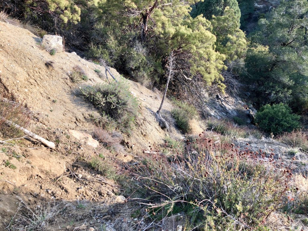
When we finally came to a stop, my iPhone was still playing music, and the only apparent casualty was half a bag of brightly colored Skittles scattered on the ground. There was nothing to do here but laugh, and somehow drag the 40+ lb bike up the steep dusty cliff face.
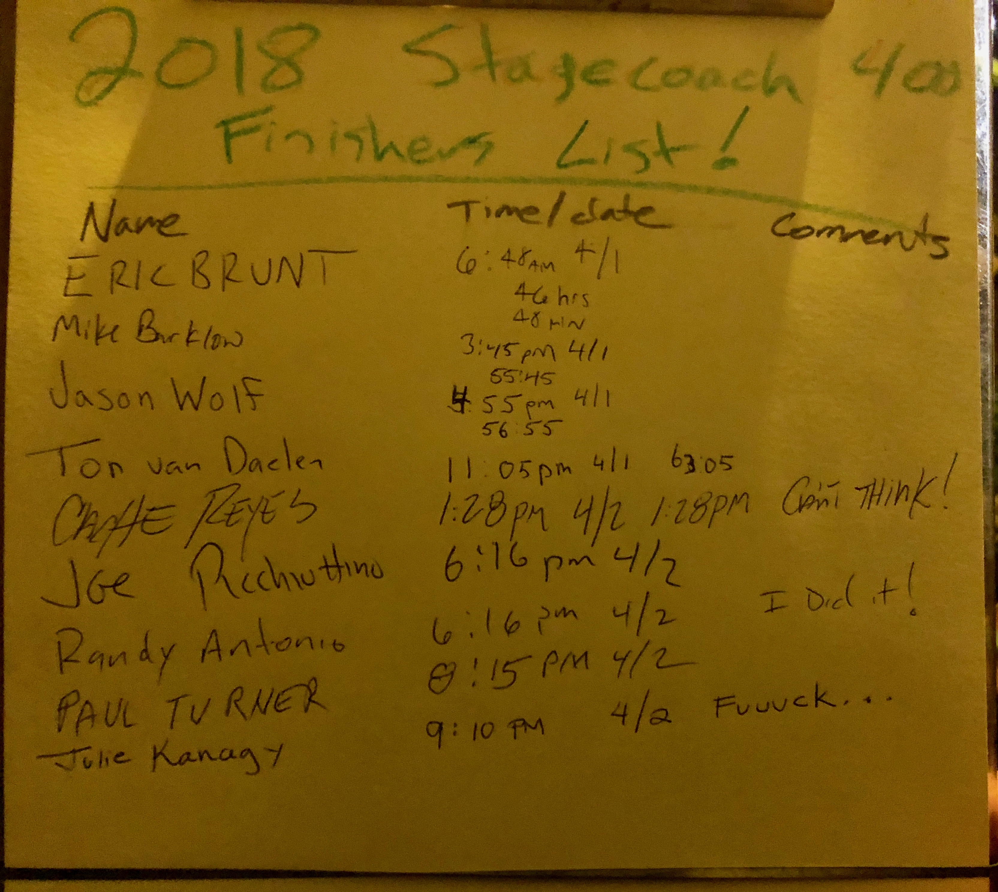
When I finally got out to the road, I stopped to check myself over again and noticed I did get a cut, so got out the Neosporin and band-aids. Mists were rolling in and the temp went down to 45 degrees! So I had to stop again and layer up. By the time I got to the bottom of the climb to Idyllwild, it was getting dark and I was extremely tired. I stopped and lay down under a beautiful pine tree. I closed my eyes and felt how easily I could just fall asleep right now! I mustered the motivation to keep moving, and started up the final climb to Idyllwild! It got dark, and my one remaining light subsequently died. I took off my helmet and just used the headlamp for the last few miles. Finally I reached the last pavement descent to town! I finally finished at 9:10pm. I signed my name at the bottom of the sign-in sheet, and left the only comment I could think of at the time…
